Mapping the Floods
Urban flooding in Panaji, the capital of Goa, has become increasingly frequent and intense due to rapid urbanization, encroachment on natural drainage systems, and inadequate stormwater infrastructure. This study set out to identify flood-prone areas, analyze spatial patterns and underlying causes, and propose targeted mitigation strategies. The process began with field visits during the 2023 monsoon, where key flood hotspots were documented using GPS-enabled photography. These observations were then integrated with secondary data sources such as drainage network maps, satellite imagery, historical flood data, and land use maps. These layers were analyzed to identify correlations between topography, drainage performance, and flood occurrences.


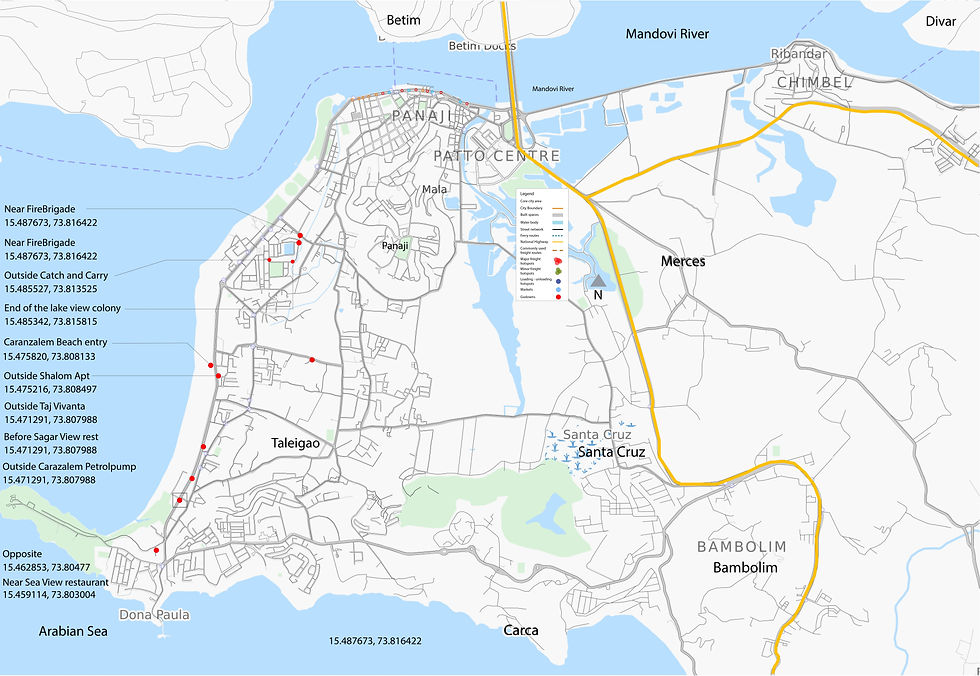
The spatial analysis revealed that low-lying areas like Mala and Patto are especially vulnerable due to their depressed terrain and proximity to tidal backwaters. Rapid construction over khazan lands and wetlands has increased the extent of impermeable surfaces, reducing the city’s natural absorption capacity. In several locations, undersized or poorly maintained drains contribute significantly to waterlogging, particularly when high tides coincide with heavy rainfall, impeding outflow and causing backflow. Annotated field photographs further illustrate issues such as clogged drains, flooded streets, and overwhelmed outfall points. Based on these findings, a drainage vulnerability overlay was created, combining data on elevation, drainage density, urban land use, and proximity to tidal inlets. This allowed for the classification of zones into high, moderate, and low flood risk categories, enabling more informed decision-making.


Overall, this integrated approach, merging spatial analysis with on-ground observations, provides a clearer understanding of flood dynamics in Panaji and outlines a roadmap for building long-term urban resilience.