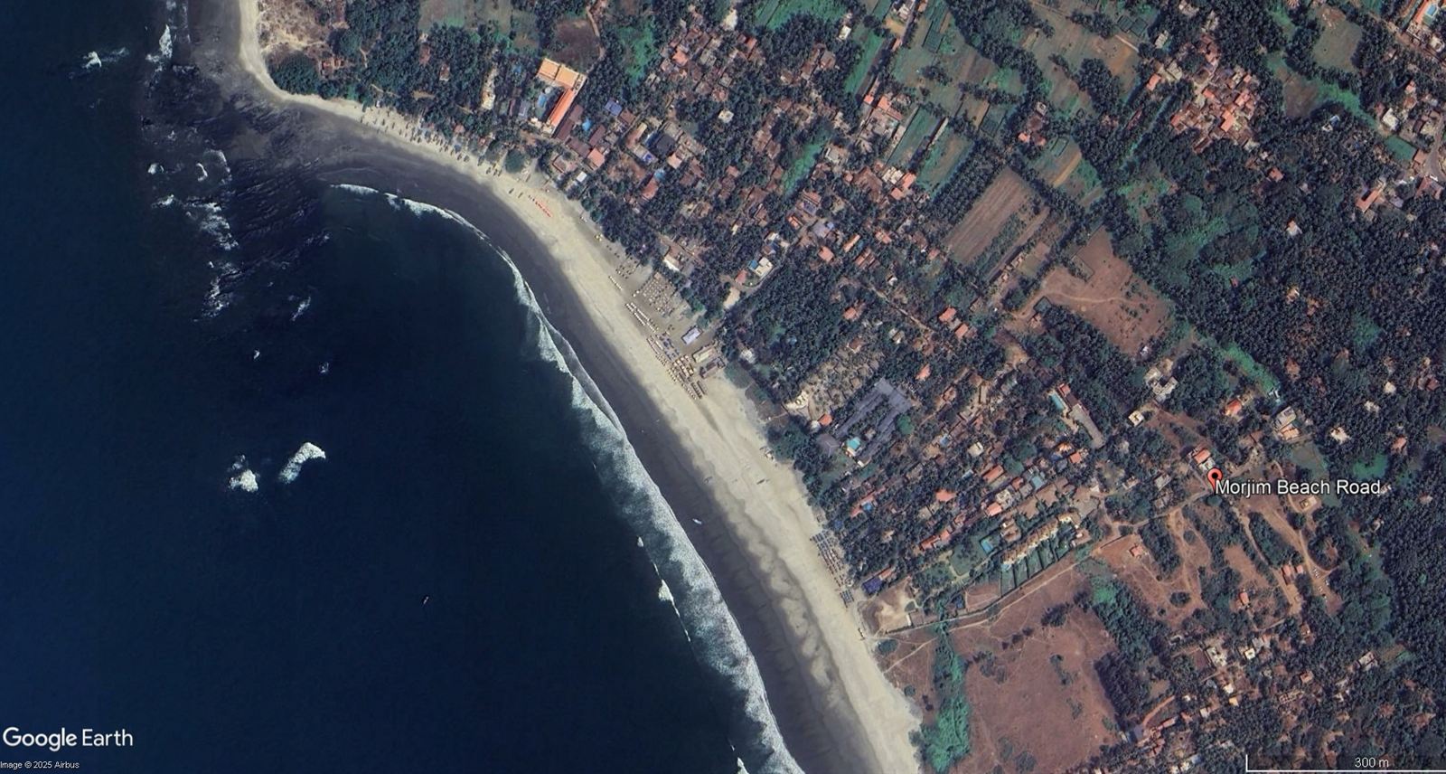
Morjim in North Goa is a nesting site for Olive Ridley sea turtles. On paper, India's Coastal Regulation Zone rules protect it. On the ground, ecological features have been mapped in the wrong places, plans arrived late, and violations spread faster than enforcement could follow.
How did a diverse set of actors use informal networks to enable violations and weaken enforcement?
This research follows that question through coastal policy, local stakeholders and ecosystem management. It maps unauthorised construction in CRZ areas and traces how distorted zoning, weak enforcement and informal governance networks affect public interest, court orders and coastal habitats.
A Coastal Resilience Index
The study proposes a Coastal Resilience Index: a practical tool for assessing environmental risk and guiding development. It combines ecological, social and regulatory parameters so that administrators and developers can weigh conservation against economic interests on the same page, and it is designed to be used on other vulnerable coasts in India.
The work
- Co-led an ifa-funded study with Humboldt University on inaccurate coastal mapping, climate resilience and marine ecology in Goa.
- Research design, fieldwork, expert interviews, stakeholder engagement and spatial analysis.
- Evidence to support government action on encroachments and habitat restoration.
What happens when the agencies meant to enforce the law won't act? That follow-on question is the subject of When the state won't enforce its own laws.